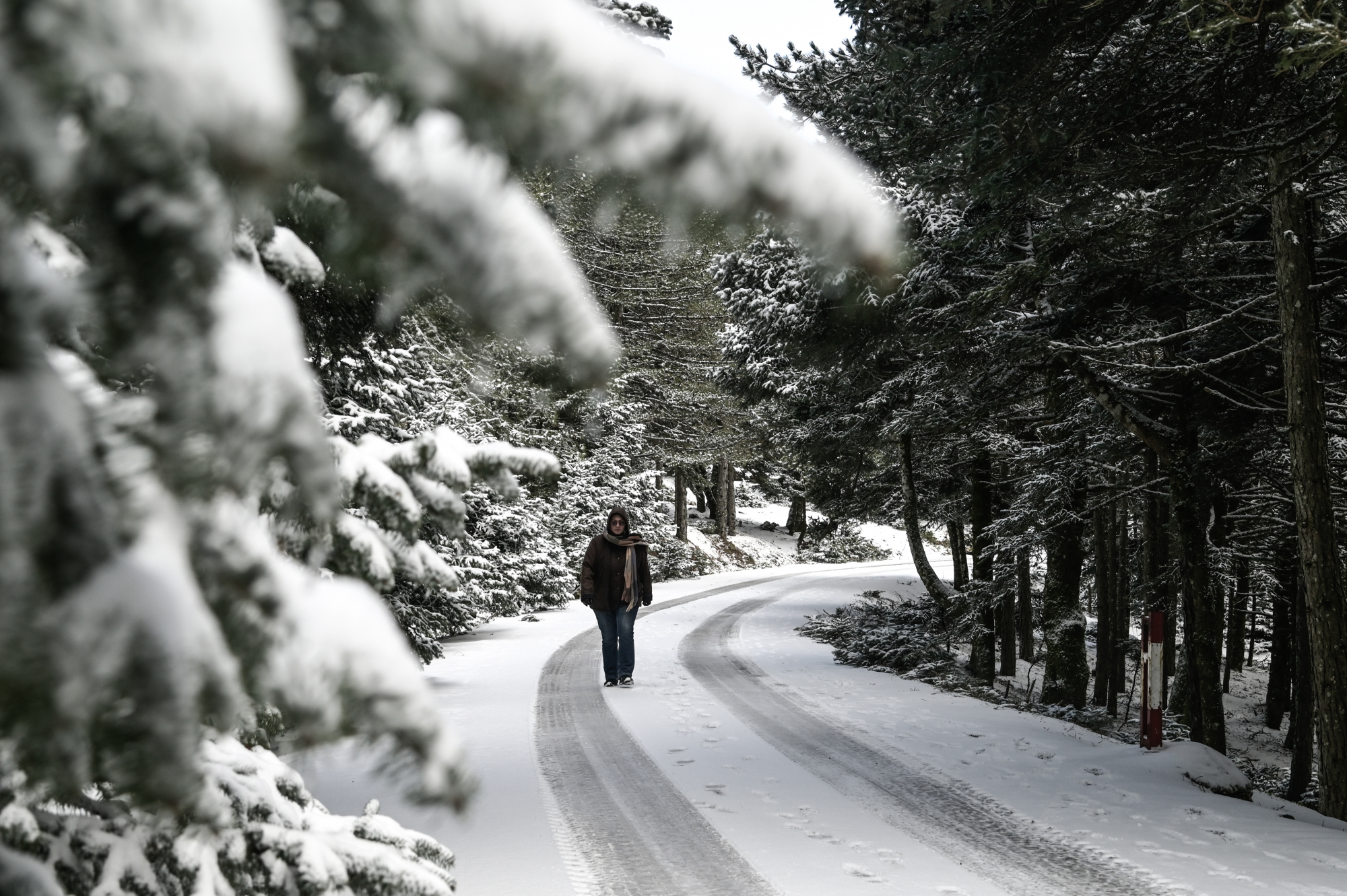
The EMY has issued an emergency bulletin of severe weather, warning of severe events over the next 24 hours.
In particular, the weather will gradually deteriorate, with two disturbances affecting the country from midday on Sunday (28/1) and Monday (29/1) and Tuesday (30/1). More serious cases manifest with the second disorder.
The snow will gradually weaken on Wednesday
The main features will be a significant drop in temperature over the three days of Sunday-Tuesday (order of 10°C) and snowfall, mainly from the heights of Thessaly and further south in the eastern winds of the country.
At the same time, stormy northerly winds will prevail in the Aegean region and strong rains and storms will occur mainly in the southern sea-coastal areas.
More details:
A. Snow falls on:
a) From the morning of Sunday (28/1) there will be snow in the mountains of Macedonia and Thrace, Thessaly, Central and Eastern Styria, Evia and the Peloponnese, and in the mountains of Crete in the afternoon. .
b) From the morning of Monday (29/1), snow will continue even in the lower altitude areas of Macedonia and Thrace, but will weaken from the afternoon. On the contrary, the intensity of snowfall is predicted in Thessaly, Sporades, Eastern Styria, Evia and the northern and eastern parts of the Peloponnese after midday on Monday.
Snowfall will occur in the Aegean islands (higher areas) and in the mountainous and semi-mountainous areas of Crete. Especially for Attica, the intensity of snowfall is forecast from Monday afternoon (29/1) in the mountainous areas. and semi-montane areas and evening to low altitude areas.
c) On Tuesday (30/1) snow will continue in Thessaly, Eastern Styria (including Attica), Evia, Sporades, northern and eastern parts of the Peloponnese and low altitude areas in the mountains. North and East Aegean islands, Cyclades and semi-mountainous areas of Crete.
d) On Wednesday, the snowfall will gradually weaken and remain confined to the mountains and semi-mountains of Crete.
B. Northeast wind 8 to 9 and locally 10 Beaufort:
a) From Tuesday morning (30/1) in the northern and gradually in the central and southern Aegean regions.
b) On Wednesday (31/1) stormy northerly winds will be maintained in the Aegean but from mid-afternoon in the north they will be limited to 8 Beaufort and gradually weaken.
C. Heavy rain and storm The second disturbance is forecast from (Monday (29/1) noon to Tuesday (30/1)) mainly in the Sporades, Cyclades and Crete.
Watch the trend of bad weather live
Meteorologists have issued a warning
According to Yiannis Kallianos, from Sunday to Tuesday, the advance of the cold invasion is expected.
As he underlined, snow will occur in eastern and southern regions, while in western and northern Greece, cold weather will be recorded, but not extreme events.
As for the temperature, it will drop by 7-8 degrees.
Heavy snowfall occurs locally and from Kifisia and above.
“I would consider it a big surprise if it snowed in the center of Athens,” said Mr. Gallianos noted and said Monday and Tuesday were “cold days.”
For his part, Mr. Kolitas in his post on X platform (formerly Twitter) said that the intensity of snow for next Tuesday is not fully clarified and we will get a better picture of weather development today on Saturday.
An upper depression and accompanying cold mass
✅ As it retreats from the Black Sea and moves from east to west, the upper low at the 500hPa level and the accompanying cooling will have a very long journey. pic.twitter.com/p0h4ccfPYY— Theodoros Kolitas (@kolidasti) January 26, 2024
According to ERT's meteorologist Nikoleta Ziakopoulou, we expect rain and some snow in mountainous and semi-mountainous areas from eastern Thessaly and further south. Up to 7 Beaufort in the north and temperatures expected to drop.
A few clouds increased temporarily and in places with local rain from the afternoon in Thrace and the northern and eastern Aegean islands. Northern hills are likely to experience light snowfall.
Winds will be north-northwest 4 to 6 Beaufort, inland seas 7 and northwest Aegean 8 Beaufort in the afternoon.
The temperature varies from -03 (minus 3) to 12 to 14 degrees in the north, from -01 (minus 1) to 16 in the rest of the mainland and from 07 to 17 degrees Celsius in the island nation.

. “Professional creator. Subtly charming web advocate. Unapologetic problem solver. Devoted student.”


More Stories
Criminal gang in Mykonos encouraged women into prostitution – how they set up romantic dates
Earthquake in Kavtos: “Too early to decide if it’s significant” – Valleys closed, risk of landslides
Halkidiki – Luna Park: SKAI Revelation – Discovered by the Expert