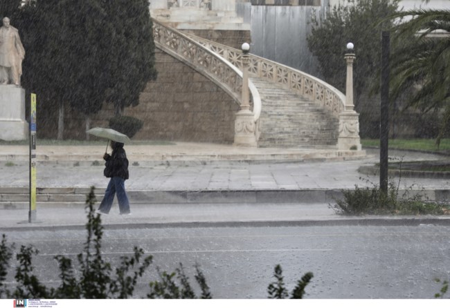
A temporary deterioration in weather is forecast with prominent features from Thursday (29-02-24) evening to Saturday morning (2-3-2024). Heavy rain and stormIt will be accompanied by high frequency of lightning and hail.
According to an emergency weather report issued by the National Weather Service, severe weather will begin to bring severe effects to the USThursday night In the west and on Friday they spread further east to affect other landmasses such as the Sporades, Evia, the Cyclades and then the eastern Aegean and Dodecanese.
Winds are strong offshore and can reach 7 and inland 8 Beaufort.

Weather Details:
Thursday (29-02-24)
From the evening, the Ionian Islands, Epirus, Western Styria and Western Peloponnese will be affected by rain and storms, temporarily strong.
Friday (01-03-24)
A. Strong effects will continue until morning in the Ionian Islands, Western Styria, Western and Southern Peloponnese, but will gradually weaken.
B. From noon, Thessaly, Eastern Styria, Eastern and Southern Peloponnese will be affected, and in the afternoon Central Macedonia, Sporades, Evia, Eastern Styria (including Attica) and Cyclades will be affected.
c. In the evenings, the events will continue in central Macedonia and the Cyclades, while they will gradually expand further eastwards, affecting the eastern Aegean and Dodecanese islands.
Saturday (02/03/24)
Extreme events will continue in Central Macedonia (mainly Halkidiki), East Aegean Islands and Dodecanese Islands, gradually weakening until morning.
More details on the development of the weather in regular and emergency weather bulletins on the EMY website (www.emy.gr)
The emergency report is updated every twelve hours.

Maniflowers for flash floods
Meteorologist Giorgos Satrafilias has warned of severe weather Emil expected to hit our country in the next few hours.
As he mentioned in his post on his personal Facebook account, there is a risk of flash floods in some areas he listed where severe weather events are expected in the Attica basin.
Specifically, according to the meteorologist, the strongest storms that could bring bad weather over the next 48 hours will initially hit from this afternoon: Eptanisa, Thesprotia, Ilia, Achaia, Trikala, Karditsa, Macedonia (Pieria, Imathia, Pella and further west), Evrytania, Aitoloakarnania.
As for Friday, from noon to Saturday morning the following will be affected, Mr. Satraphilias assesses: Larissa, Pyrrhia, Imathia, Bella, Thessalonica, Halkidiki, Corinthia, Cyclades.
For Attica in particular, the meteorologist notes that “there will be heavy rain shortly after noon on Friday, which requires attention due to the uniqueness of the city.”
Be the first to read news about what's happening in Greece and the world right now on thetoc.gr


More Stories
Acrylic vs. Must-Have Acrylic Brushes for Perfect Nail Art
Technological Advancements in Tortoise Tracking and Monitoring
Criminal gang in Mykonos encouraged women into prostitution – how they set up romantic dates