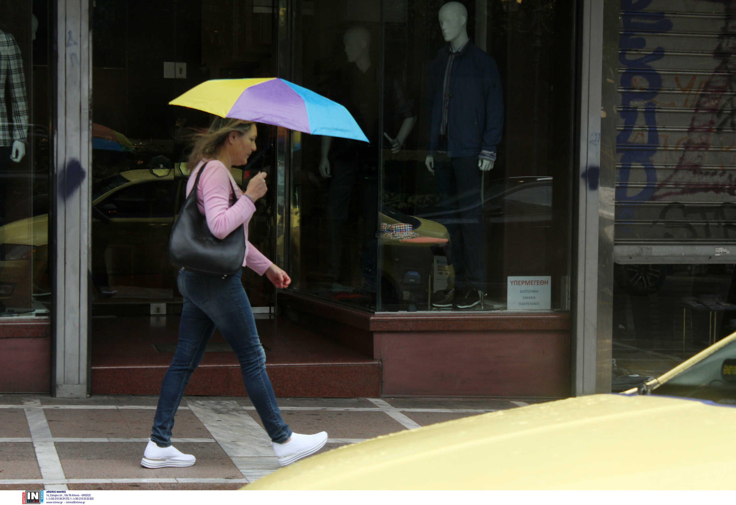
The weather will resemble autumn from Thursday (15.6.2023) as the instability will remain good until at least next week. However, the weather is completely changeable leading to high temperatures.
According to Clearchos Marousakis weather forecast, rain, storms and low-season temperatures will prevail in most parts of the country from Thursday. Bad weather will continue through the weekend and affect the islands at the same time.
In fact, the meteorologist has warned about the risk of flooding.
The weather changes again from the middle of next week with intense sunshine and temperatures reaching 35 to 37 degrees Celsius in some areas.
Forecast on Marousakis.gr:
While the weather has not called a halt, the next few days are expected to flow in our country. In fact, what is interesting for the time we are in is the movement of a well-organized depression from the area of Italy towards our country, which shows a very low frequency of occurrence. We would have expected such an atmospheric flow in October but November, but it did not arrive then to experience it now.
From volatility to organized bad weather
A change from previous unsettled weather days is that we will be under the influence of organized bad weather from tomorrow into early next week, and what that means in practice.
Rain, thundershowers and cloudy skies will appear A long time during the day. The above phenomena can appear at any time of the day, and until now we have mainly seen them in the afternoon and late afternoon.
Storms, though seasonal, may show more force during the hottest hours of the day, but now their intensity can increase at other times of the 24-hour period.
Rains and storms can cover large areas without showing the location of the previous 24 hours.
Over the past few days, we have seen inclement weather mainly concentrated in continental areas. Now, the unsettled weather can also worry the sea – coastal areas, so our islands are also more likely to face problems with this development.
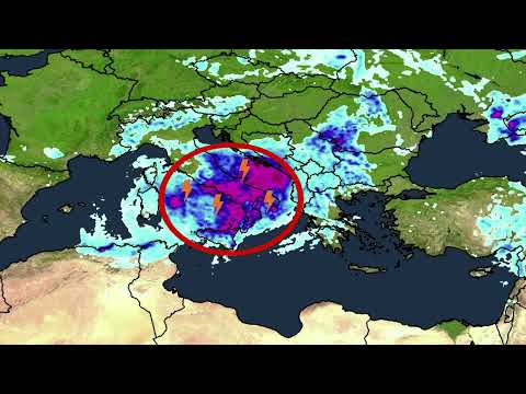
In the following map, you can see inside the circle the wave of bad weather that is expected to hit us from the area of Italy and the intense colors of the heavy water that comes with it. It is worth noting that mathematical calculations show that 50 tons of water per hectare can be accessed or more at a local level for flood episodes.
Summer’s counterattack
After these waves of bad weather that “spoiled” us for another weekend, summer seems to be preparing a strong attack for our country and the Mediterranean in general. As we can see in the following map, very warm air coming from the coasts of North Africa is expected to move east-northeast next week and reach our country from the middle of next week.
This development will lead to many 35 and 37 votes on Election Sunday, and volatility will now be significantly limited to our high mountains.

. “Professional creator. Subtly charming web advocate. Unapologetic problem solver. Devoted student.”


More Stories
Criminal gang in Mykonos encouraged women into prostitution – how they set up romantic dates
Earthquake in Kavtos: “Too early to decide if it’s significant” – Valleys closed, risk of landslides
Halkidiki – Luna Park: SKAI Revelation – Discovered by the Expert