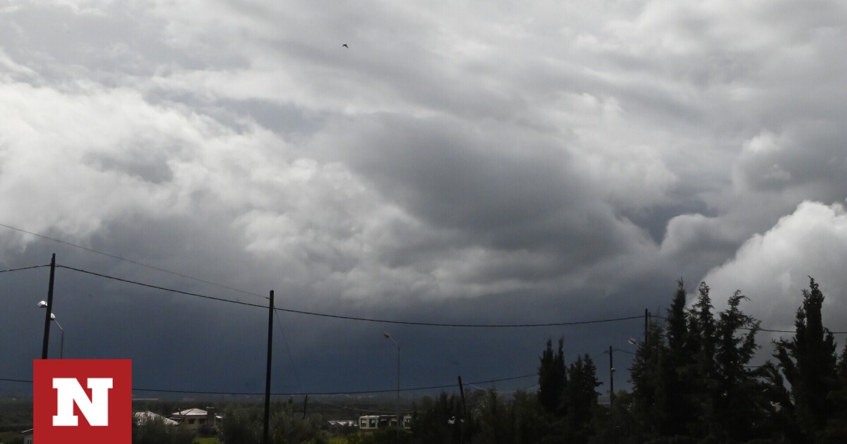
According to Sakis Arnadoklou, a new bad weather is going to hit Greece in the coming days, although this weather change is not expected to affect the entire country.
The experienced weather forecaster, with a post on Facebook, explains that in the following days, especially on Thursday, May 9, a depression is expected, which cannot be ruled out with the help of an anticyclone in the western part of Europe. Some parts of the country will experience bad weather.
“Weather at a glance until next Thursday! The depression predicted for next Thursday will not be particularly deep, but with the help of the anticyclone in Western Europe, its worst weather cannot be ruled out in some areas (maps), but not all over Greece, the intensity and scale of weather events is still open , it all depends on the exact position and trend of low temperatures over the next three days!” writes Zakis Arnadoklou.
Weather according to EMY
Easter Monday, May 6
Generally clear weather with cloud formation only over land during the afternoon and afternoon and localized showers mainly over the mountains and isolated storms in the north.
Winds will vary from 3 to 4 and only in the Aegean will blow from northerly directions to 4 to 5 and southerly local 6 at Beaufort.
Temperatures will rise slightly to 23 to 25 degrees Celsius and 26 to 27 degrees Celsius in eastern parts.
Macedonia, Thrace
Weather: Generally sunny. During the afternoon, temporary clouds will develop and local rain will occur in the mountains and western Macedonia, possibly isolated storms.
Wind: Variable 3 to 4 Beaufort. afternoon and afternoon with the same intensity from southerly directions.
Temperature: 10 to 25 degrees Celsius. 2 to 3 degrees lower in western Macedonia and Thrace.
Ionian Islands, Epiros, West Styria, West Peloponnese
Weather: Generally clear and patchy cloud will develop over the continental highlands with a chance of localized showers or isolated storms only in the mid-afternoon.
Winds: Variable 3 to 4 Beaufort and will be intermittent from the West with similar intensity during the afternoon-afternoon hours.
Temperature: 10 to 25 degrees Celsius. Maximums in the interior of Epirus are 3 to 4 degrees lower.
Eastern Styria, Evia, Eastern Peloponnese
Weather: Generally sunny. By mid-afternoon, some patchy clouds with a small chance of localized rain over the mountains.
Winds: Variable 3 to 4 and easterly northerly to 5 Beaufort gradually turning to southerly directions from mid-day with similar intensity.
Temperature: 13 to 26 degrees Celsius.
Cyclades, Crete
Weather: Generally sunny.
Wind: North 4 to 6 Beaufort.
Temperature: 14 to 22 and up to 23 degrees Celsius in Crete.
Eastern Aegean Islands – Dodecanese
Weather: Generally sunny.
Wind: North 4 to 6 Beaufort.
Temperature: 15 to 25 degrees Celsius. 2 to 3 degrees decrease in the north.
Thessaly
Weather: Generally clear. Afternoon – Partly cloudy with chance of localized rain in the mountains.
Winds: Variable 3 to 4 Beaufort and east in the afternoon – afternoon with the same intensity in the east southeast.
Temperature: 11 to 26 to 27 degrees Celsius.
Attica
Weather: Generally sunny.
Winds: Varies from 2 to 4 and 4 Beaufort from northerly directions in the morning in the east.
Temperature: 13 to 25 degrees Celsius.
Thessaloniki
Weather: Generally clear, with occasional localized clouds forming over the surrounding mountains only in the afternoon and afternoon.
Winds: Variable 2 to 4 Beaufort and afternoon-afternoon with same intensity from southerly directions.
Temperature: 12 to 24 degrees Celsius.
Easter Tuesday, May 7
In Macedonia and Thrace it will be temporarily thick in the mid-afternoon and in the afternoon with localized showers and isolated storms in the mountains. In the evening, clouds will be thick in the west.
Visibility in the west in the morning will be low in some places.
Winds will vary from 3 to 4 and inland 5 Beaufort from westerlies only in southern seas.
Temperatures will rise slightly and range from 22 to 24 degrees in the northeast and Aegean islands, 24 to 26 degrees in the west and Crete, 26 to 28 in other continental areas and 29 degrees Celsius inland.
Easter Wednesday, May 8
Scattered clouds in thick places over the Ionian and Continental regions, with localized rain from the afternoon and scattered storms mainly over the northern continental regions. Clouds will thicken in other areas from the afternoon, with localized showers and isolated storms in Crete in the evening.
Winds to the west will be from the north 3 to 5 and will change to 3 to 4 Beaufort in the afternoon. In the remaining areas, southeasterly winds of 3 to 5 Beaufort will prevail.
The temperature does not change significantly.
Thursday, May 9
Temporarily increased with local rain in Ionian and continental clouds and scattered storms mainly in the afternoon and afternoon. Events will weaken in the northwest in the evening. The rest of the area saw some increasing clouds at times, some localized showers and isolated storms. In the evenings, events will intensify in the northwest Aegean region.
Winds from the east will be 3 to 5 and south local winds will be 6 in Beaufort. In the evening in the west they turn in a northerly direction from 3 to 5 Beaufort.
Temperatures will drop mainly in the west and north.
Friday, May 10
Clouds will increase in places in the west with localized showers and isolated storms in the afternoon and afternoon. Elsewhere in the country, cloudiness increased at times with localized rain and scattered storms. In the evening, events will weaken and be confined to the north and east of the Aegean.
Winds will be southeasterly at 5 to 7 and gradually northwesterly at 6 Beaufort. In the remaining areas, winds will be 4 to 5 from the north and 6 to 7 Beaufort locally in the Aegean.
Temperatures will drop further in the east.

. “Professional creator. Subtly charming web advocate. Unapologetic problem solver. Devoted student.”


More Stories
Criminal gang in Mykonos encouraged women into prostitution – how they set up romantic dates
Earthquake in Kavtos: “Too early to decide if it’s significant” – Valleys closed, risk of landslides
Halkidiki – Luna Park: SKAI Revelation – Discovered by the Expert